[text_block style=”style_1.png” align=”center” font_size=”25″ font_font=”Lato” font_style=”normal” font_color=”%23ffffff”]Remote sensing offers a unique way to visualize. It is the process of detecting and monitoring the physical characteristics of an area by measuring its reflected and emitted radiation at a distance from the targeted area utilizing special cameras that collect remotely sensed images.[/text_block]

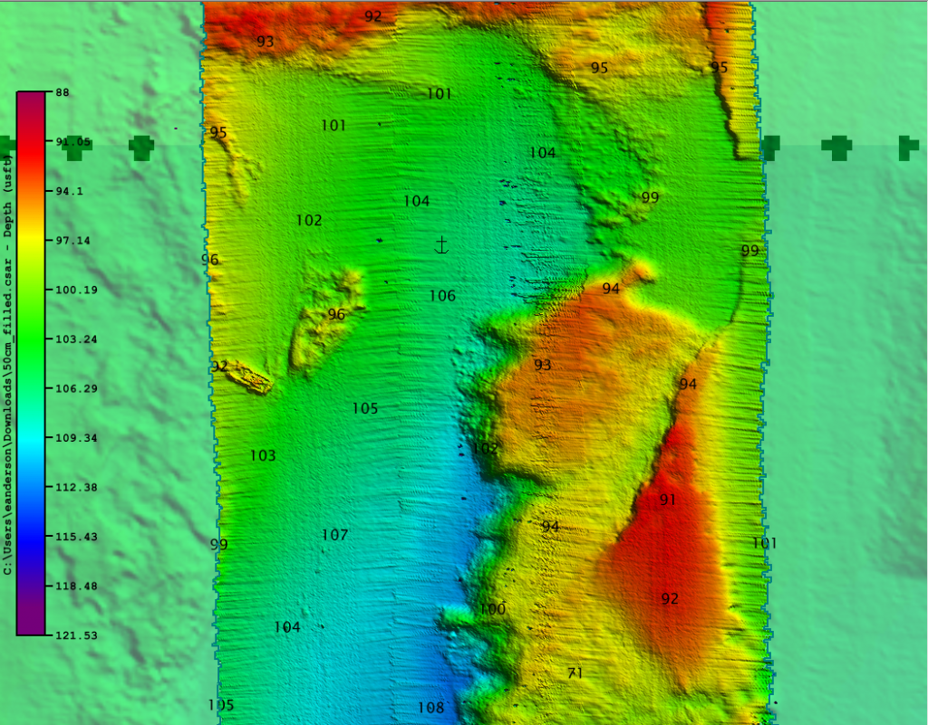
[text_block style=”style_1.png” align=”left” font_size=”20″ font_font=”Lato” font_style=”normal” font_color=”%23053856″]We bring the seafloor and its hidden treasures into an unprecedented level of focus through our high-resolution bathymetric imagery services. The methodical approach to surveys provides exceptional detail.[/text_block]

Laser scan of German submarine that sank over 70 years ago. A laser scan shows a 1942 sunken German submarine off the coast of North Carolina resting in 700 feet of water, entombing dozens of German sailors.

The Multibeam system is crucial for mapping the seabed for the scientists and also the submersibles. It has never been done on such a small craft before!

